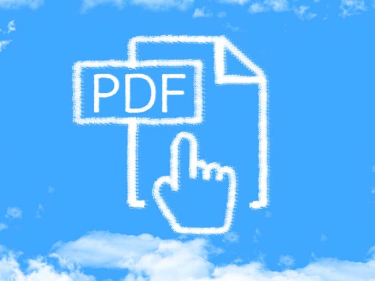
Search :
 Software Categories
AntiVirus
Audio & Video
Business/Organize
Desktop Enhancements
Developer Tools
Drivers
Games  Hot!
Graphics/Design
Home & Education
Internet
Network
Programming
Screensavers
Security/Privacy  Hot!
Utilities
Sponsors
Site Links
New Releases
Top 100
File Bar
RSS Feeds
Free Tech Magazines
News/Articles
Submit Software
Link to Us
Partners
Resources
Check Your PC for Errors
FreewareFiles Express delivers the
Hottest Downloads right to your Inbox! Sign up Now!

Next Issue: 05-25-2012

Top Graphics Top Business Weekly Polls Download Manager FileBar Driver Scan
Top Games Top Security Top Audio/Video Top Desktop Top Utilities Top Internet Tools Top Game Sites
Changelog:

What´s New in version 2.6:

  • reads and writes iGO8 Route (*.kml) files
  • allows to export the current position list to a file
  • moves all selected positions when dragging a position on the map
  • displays elevation or speed in the profile view at the bottom of the window
  • displays elevation, distances and speed in metric, nautic and statute measurement system
  • displays copyright messages for OpenStreetMap and OutdoorActive maps
  • uses the routing instructions from Google Maps Directions API when adding positions
  • uses Google Maps Elevation API first when completing elevation information
  • uses the latest Eclipse SWT 3.8M3 library to show a map again on Windows XP
  • fixes reading Navigating POI-Warner (*.asc) files containing control characters
  • fixes reading Tom Tom POI (*.ov2) files containing control characters
  • fixes writing Training Center Database 1 (*.tcx) and Training Center Database 2 (*.tcx) files
  • fixes a bug when tracks were not painted anymore after scrolling the map
  • fixes a bug localizing the map display and controles
  • fixes a bug when routes over water were not painted
  • fixes a bug omitting the username required for geonames.org
  • fixes a bug when reading ZIP archives containing file names with umlauts

What´s New in version 2.4:

  • reads and writes CoPilot 8 (*.trp) files
  • reads and writes Opel Navi 600/900 (*.poi) files
  • adds Czech and Slovakian localization
  • allows to drag and drop positions in the position list
  • displays time data in the default time zone of the users machine
  • duplicates the first position for Navigon Mobile Navigator and CoPilot routes
  • adds a confirmation dialog before deleting categories
  • opens a dialog when adding information to positions takes a long time
  • uses a pointer as the mouse pointer on the map
  • uses digits for the elevation axis of the elevation profile
  • fixes the display of maximized windows if the task bar is not at the bottom
  • fixes reading data from URLs
  • fixes copying positions from a position list to a newly created position list failed if the file format is not GPX
  • fixes the misleading error message when a user tries to register with an already existing name
  • fixes links in about dialog under Linux
  • fixes files read from root if their path was relative under Linux
  • tries to make the map work on all major 32- and 64-bit Linux distributions

What's New in version 2.1:

  • reads and writes GoPal Route 5 (*.xml) files
  • reads time and elevation from Google Earth (*.kml) files written by Navigon 6310 devices
  • adds Spanish localization
  • adds a menu with recently opened files
  • always displays times in GMT/UTC timezone
  • solves the menu performance problems on Mac OS X
  • avoids the browser polling most of the time on Linux and Mac OS X
  • complements comments, elevation and time of manually inserted positions
  • speeds up reading of files by first trying most likely candidates
  • speeds up writing of files by not reloading them if the format didn't change
  • contains a workaround for GPST(racker) which stores m/s instead of Km/h in GPX 1.1 (*.gpx) files
  • fixes a bug introduced in 2.0 where selected positions where not centered on the map
  • fixes a problem with routes that could not be selected in the position list chooser
  • fixes wrong time when reading GoPal Route 3 (*.xml) files
  • fixes wrong order of positions when writing Falk Navigator (.tour) files
  • fixes the find populated place lookup by using http://ws.geonames.org/ as a default

What's New in version 1.33:

  • reads Wintec WBT-202 (*.tes) files
  • reads Navilink (*.sbp) files
  • contains a warning dialog about XML parser bugs in Java versions before 1.6.0_14
  • contains an option to turn off centering the map for the selected positions when zooming
  • parses short Tripmaster 2.5 TomTomRoute (*.itn) track logs
  • extracts the speed from Google Earth (*.kml) track logs created by Wintec WBT-201 devices
  • salvages the heart beat rate when converting from GPX 1.1 to Training Center Database 1 (*.crs)
  • fixes a bug where coordinates where geocoded for the default position name
  • fixes Google Earth (*.kml) coordinates parsing bug when coordinates are string lists separated by spaces
  • fixes a memory leak that kept the previous position list in memory when a new one was loaded
  • fixes a bug where written Garmin POI Database (*.xcsv) files contained a position list three times
       
 
PARTNERS CATEGORIES FREEWARE FILES